Note 01 · Network
Irish motorways
Most long journeys start on a motorway. Here is how to read the M network, what junction numbers mean, and why the signage differs north and south of the border.
What a motorway means
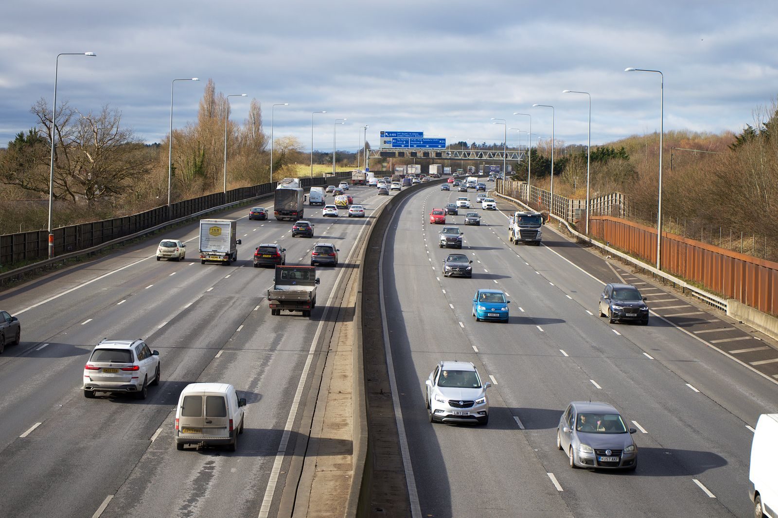
A motorway is a road built for fast movement: at least two lanes in each direction, a median and a hard shoulder on the left, no at-grade junctions, no footpaths, no bicycles, no animals. The blue sign with the motorway symbol means you are on one, and slow vehicles, pedestrians and tractors may not use it.
The letter and the number go together: M6 is the motorway from Dublin to Galway, N4 is the primary national road left behind, and R148 is a local regional road. A motorway often does not begin at the city itself: you leave the city on another road and the M starts at a particular junction.
The M network
The network is centred on Dublin, and the M50 is a ring around the city that links every main road together. Not all of them are full motorway: parts of some numbers are still two-lane roads.
| Road | Direction | Note |
|---|---|---|
| M1 | Dublin – Newbridge – Dundalk – border | The way in from Belfast through Dublin. A cable-stayed bridge over the Boyne near Drogheda. |
| M2 | North Dublin | Short; integrated with the city's northern gates. |
| M3 | Dublin – Kells | Most of it was completed in 2010. The southern section is tolled. |
| M4 | Dublin – Maynooth – Kilcock – Kinnegad | The main route west towards Galway via the M6 junction. |
| M6 | Kinnegad – Mullingar – Galway | The main summer road west; services and a toll on the first part. |
| M7 | Dublin – Naas – Portlaoise – Limerick | The southern spine west. The M8 branches off at Portlaoise for Cork. |
| M8 | Portlaoise – Cork | The first northern section, near Portlaoise, is tolled. |
| M9 | Naas – Kilkenny – Waterford | Completed in 2010. A fairly quiet road compared with the M7 and M8. |
| M11 | Dublin – Enniscorthy – Wexford | The route south along the east coast. |
| M17 | Galway – Tuam | A short link towards Ballina. |
| M18 | Ennis – Gort – Galway | The route from Shannon to Galway without going through Limerick. |
| M20 | Limerick – Cork | Currently the two-lane N20; a motorway is not built. |
| M50 | Ring around Dublin | Very heavy traffic; barrier-free tolling and signs for every main route. |
Junction numbers
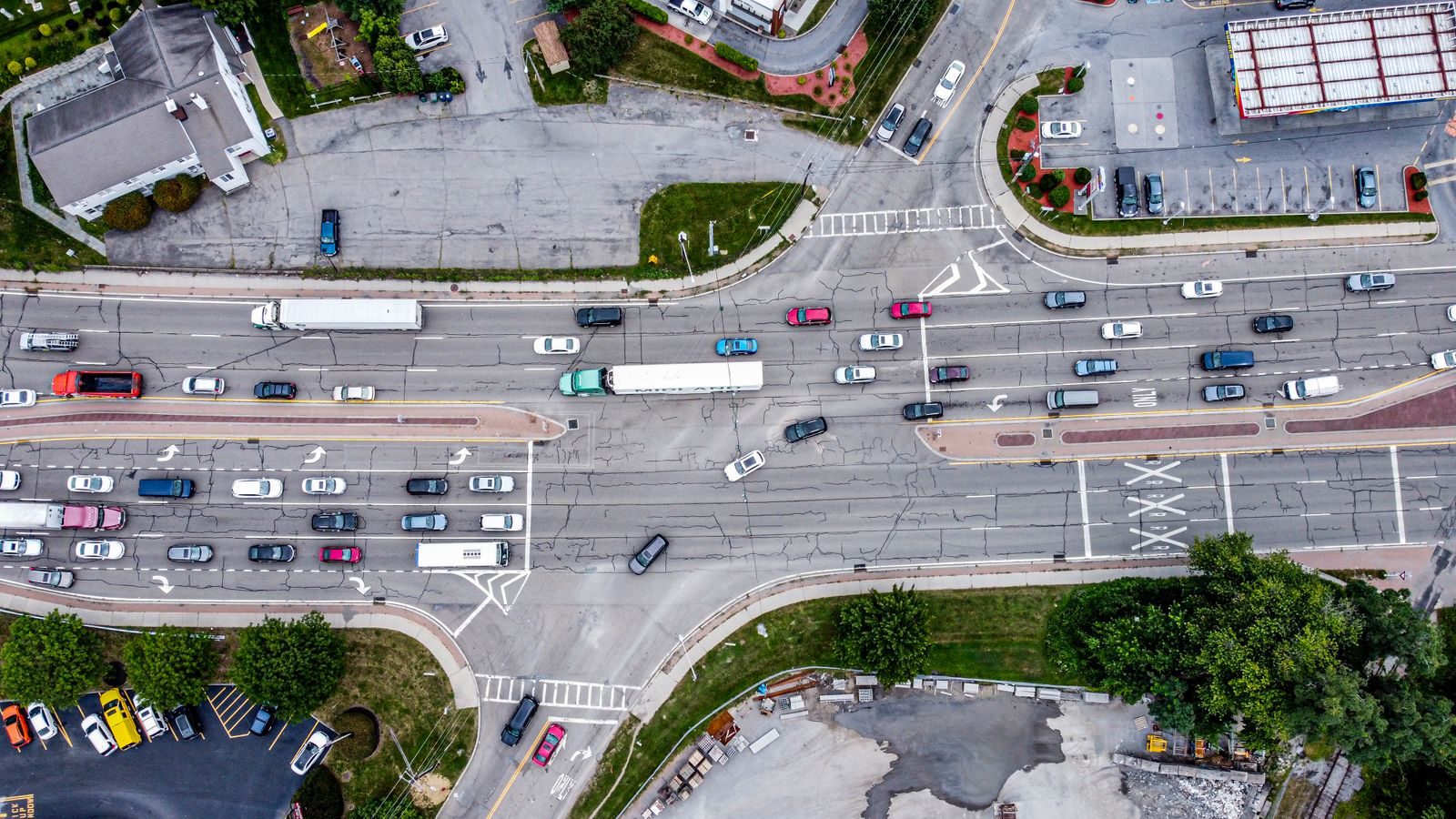
On the M50 and on many motorways, every junction has a number. When you hear “exit 5”, it means the fifth junction around the ring, not the fifth kilometre. The meaning depends on the road: junction 5 on the M50 may be a long way from junction 5 on the M7. Look at the number on the sign, and at the name that goes with it — the name is far more reliable than the number alone.
Note. Junction numbers and road classifications change as schemes are completed. Transport Infrastructure Ireland (TII) is the authority that publishes the current schemes.
Lanes, speed and the hard shoulder
On a motorway the maximum speed for cars is 120 km/h, and traffic flows at different speeds. The left lane is for slower traffic, the rightmost lane for higher speed. The hard shoulder is not a driving lane outside an emergency. If you want to stop to take a photograph or look for a place, wait for the next junction.
Some motorway sections operate as managed or variable-speed roads near cities, where the lane in use depends on the time of day. Follow the signs overhead, not the symbol painted on the ground.
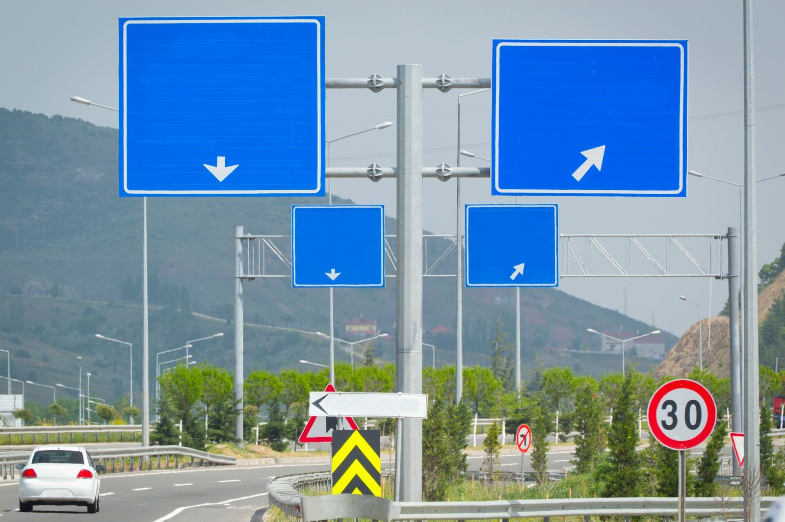
North of the border
In Northern Ireland the M1 and the M2 are both used, and the signage is different: speed limits are more often given in miles per hour, and there are a few things on the signs you will not see south of the border. When you cross the border on the M1, wait for a clear sign before relying on the speedometer in your car.
Driving safely
Leave space. Keep two seconds between yourself and the car in front, and more if it is raining or dark. If you feel tired, take the next junction: a short stop is better than pressing on.
If you have to stop, pull onto the hard shoulder, switch on the hazard lights, put on a high-visibility vest, and step behind the safety barrier if you can. Keep your passengers out of the car on the side away from the traffic.
Questions about this note
Short answers to the things people ask most.
Do I have to pay a toll on every motorway?
No. Only parts of some motorways are tolled, and most of them are free. There is a list of toll points in the note on road tolls.
How many lanes does a motorway have?
At least two in each direction, plus a hard shoulder. The M50 has three lanes in places.
Can I bring a bicycle onto a motorway?
No. Bicycles, pedestrians, tractors and other slow-moving vehicles are prohibited.
What speed should I keep to?
The maximum is 120 km/h, but that is not a target. Use a speed that is safe for the weather and the traffic, and follow the signs on the ground.
Related notes
Further reading that goes with this material.